Geographic Information Systems
Effective capture and
management of Spatial and temporal data

A Geographic Information System (GIS) provides a place for data integration, synthesis, and visualization. A GIS touches just about everything we do.
Most companies use GIS as a mapping environment, sadly, which does not exploit the power of the software to inform and devalues effort. A map will show you “what” is present. A good GIS dataset can answer “why” you see what you do. Planning an effective GIS database is essential. This often requires skill in a wide-range of data capture techniques.
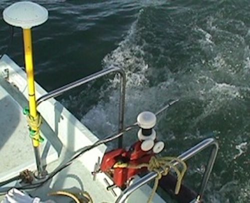
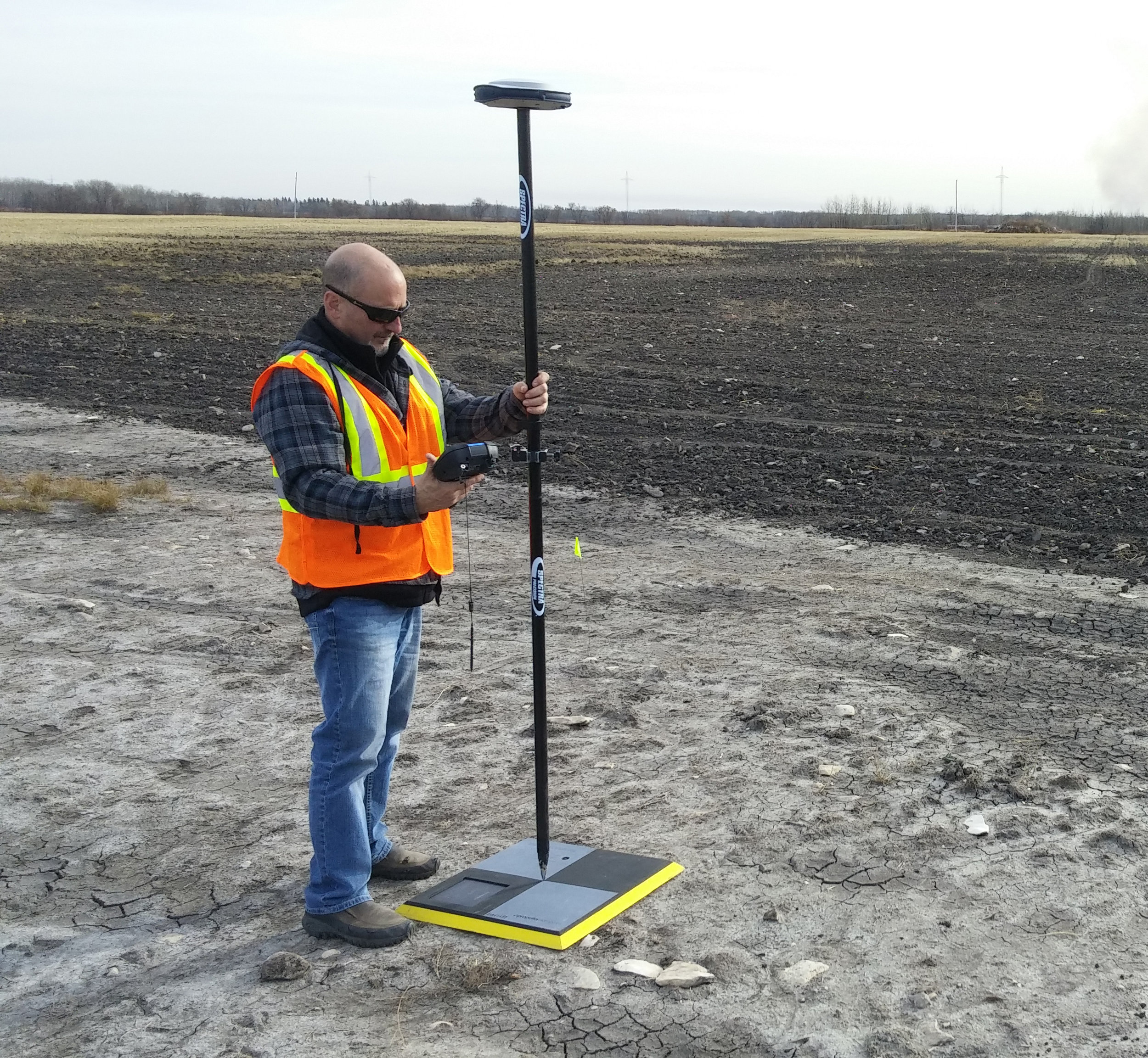
Our experience includes:

Land and water elevation model
Our experience includes:
We enjoy GIS most when used as a process modelling tool. The models have been based on field data, multivariate analysis, and the theory of water and soil movements. Our leadership in the field of prediction includes:
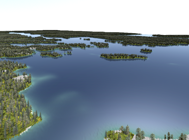
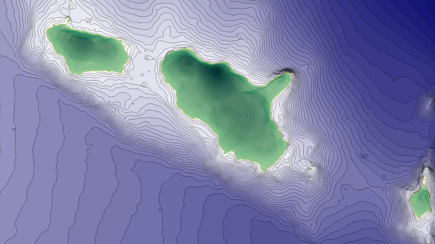
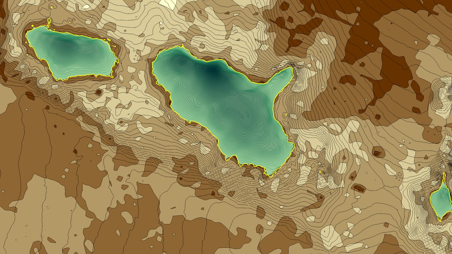
Rendering of Lake of the Woods, Canada, from aquatic, terrestrial, and satellite data.
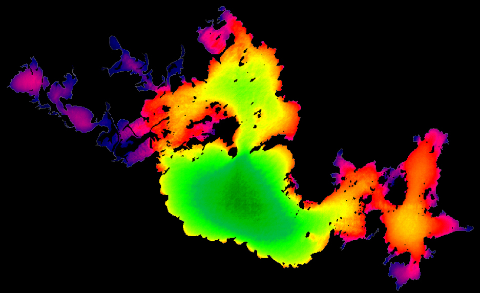
Precicting exposure, the circular integral of fetch.